Aerial Surveys & Mapping

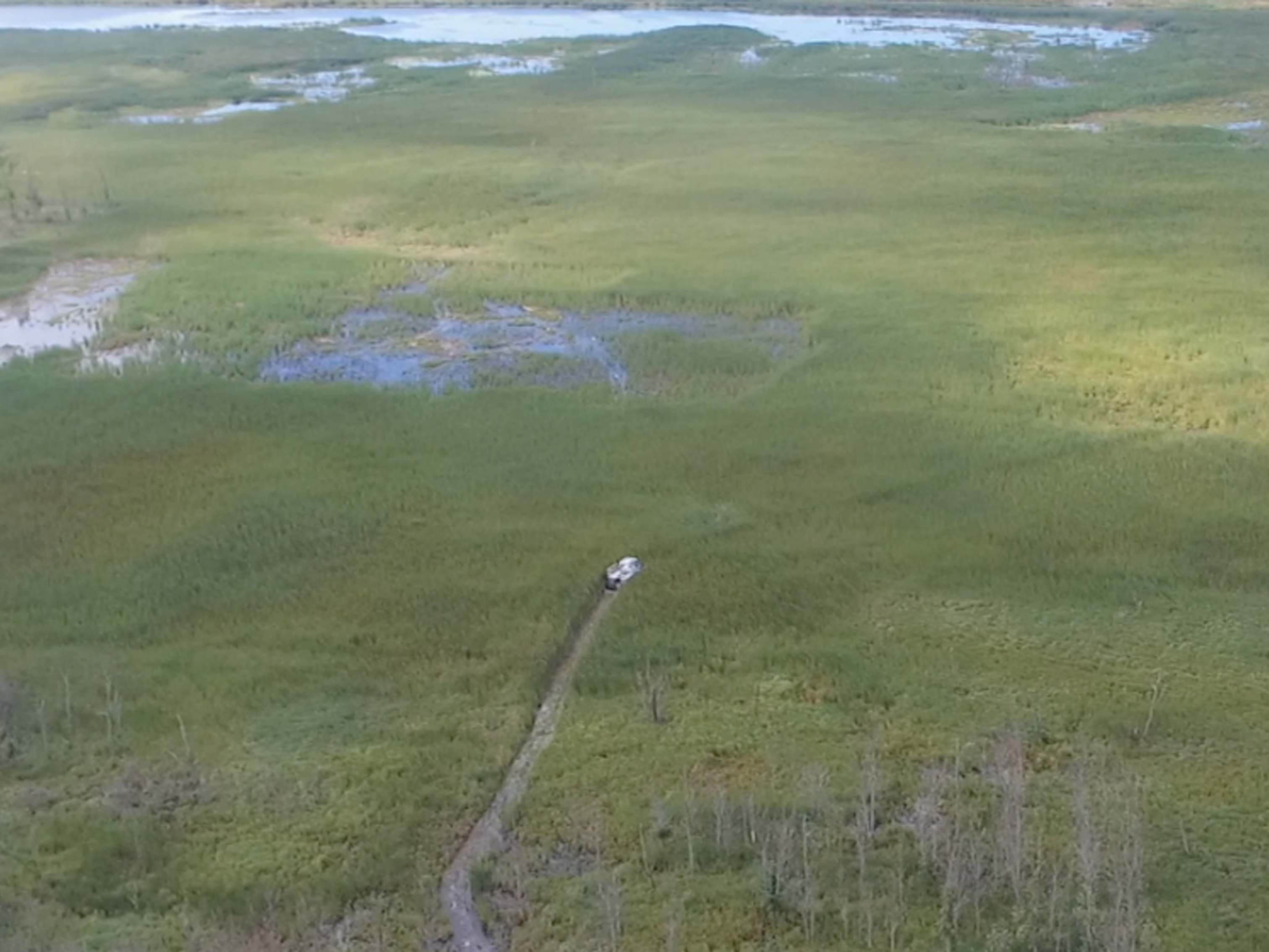
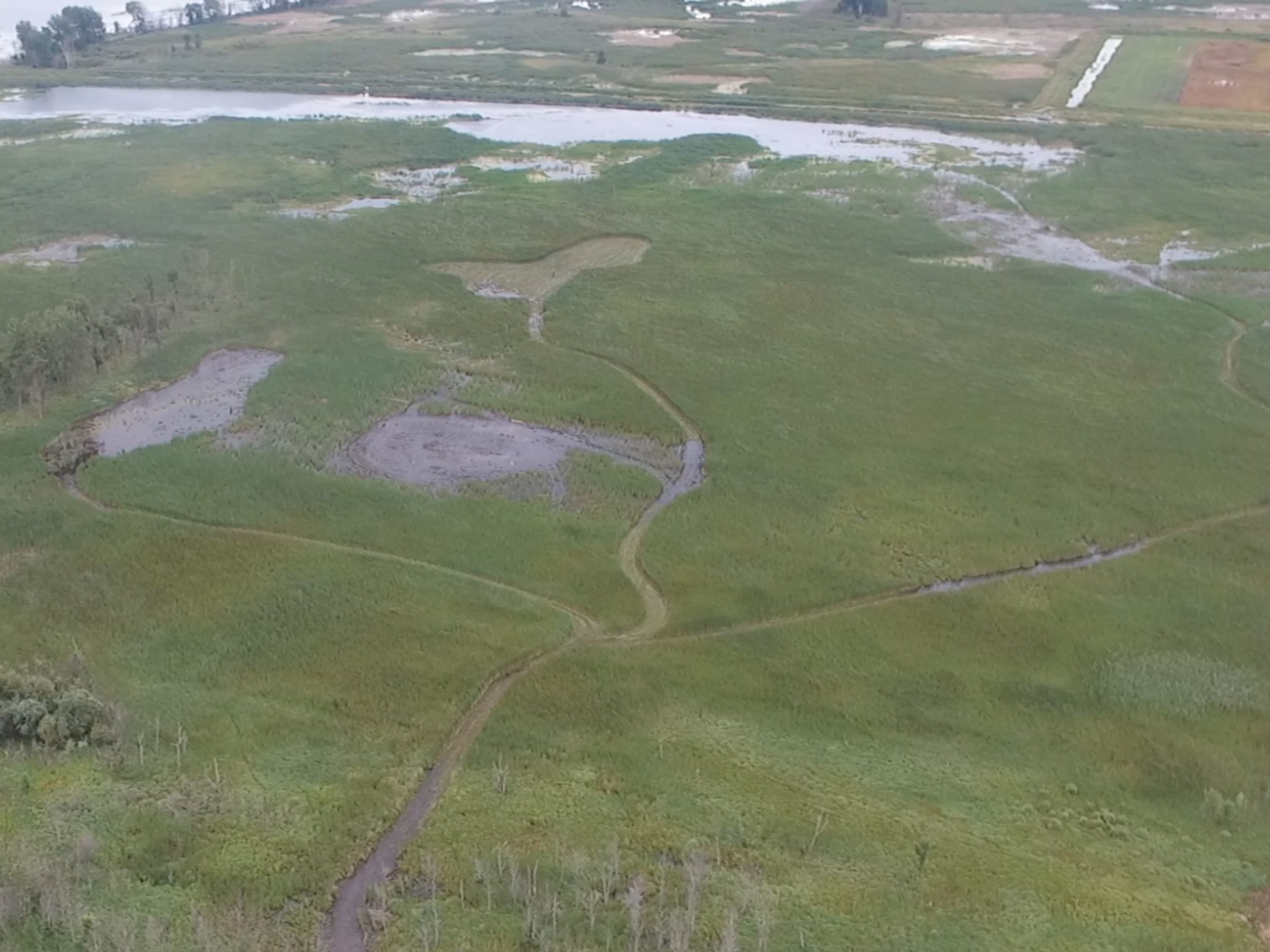
Using drone technology, we are able to get a bird’s eye view of treatment sites. Not only does this give us a true assessment of vegetation growth, it also aids in the proper identification of target plant species which enables us to more effectively preview potential projects, create visual reporting, track treatment success and provide greater accuracy of performance.